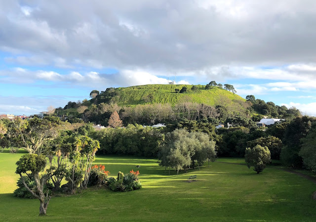
Mount Cambria was a scoria cone, and was quarried away from the 1920s onwards. The scoria was used for roading, garden walls and ship's ballast. The site became the Devonport Council depot, and in the 1990s was replanted and converted to a park which won a national award in 1992.Mount Cambria is one of approximately 48 volcanoes that make up the Auckland volcanic field. From my second-story deck I've can see North Head to the east and Mt Victoria to the west (Mount Cambria is behind).
As you pan from left to right: The remnants of Mount Cambria form the left frame, followed by a busy Waitematā Harbour (note the massive container ship heading west towards the Auckland dockyards) in the distance. Mt Victoria then rises in the middle of the shot before the right frame is formed by Mount Cambria trees.
Here's a closer look at Waitematā Harbour from Mount Cambria Reserve:
The quarried out Mount Cambria and Mount Victoria rising behind:
Volcanic rock quarried from Mount Cambria was used to build footpaths within the reserve:


No comments:
Post a Comment